The Middle Yough- a river trip for the family

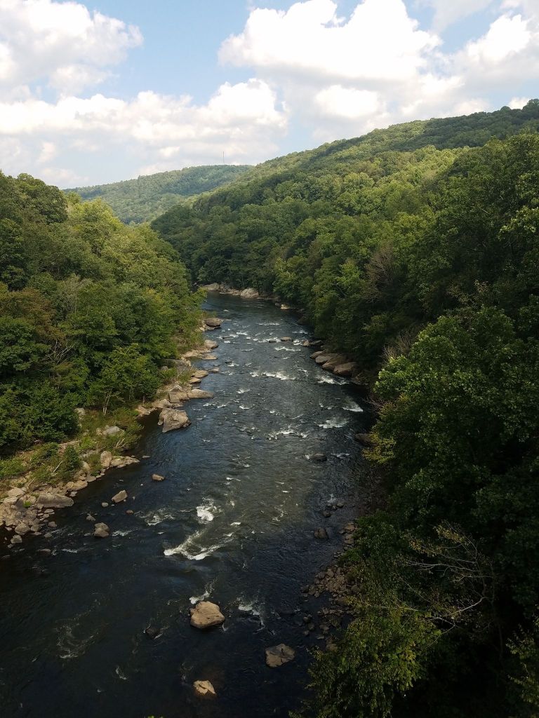
The Tree and Riverhouse sit just below the Dam on the section of river called the Middle Yough. It’s an 11 mile float trip to Ohiopyle (from the houses) with mild class II rapids at the beginning and end and lots of flatwater in the middle. A great float trip for families or fishing.  Riversport (at the end of our road) rents canoes, rafts and provides shuttle.

If the 11 miles seems like too much for your group, consider the Mini float from the houses down to the State Park put in, about 2 miles. It’s just moving flatwater. Riversport can help you arrange this.

The Garrett County Gran Fondo Routes

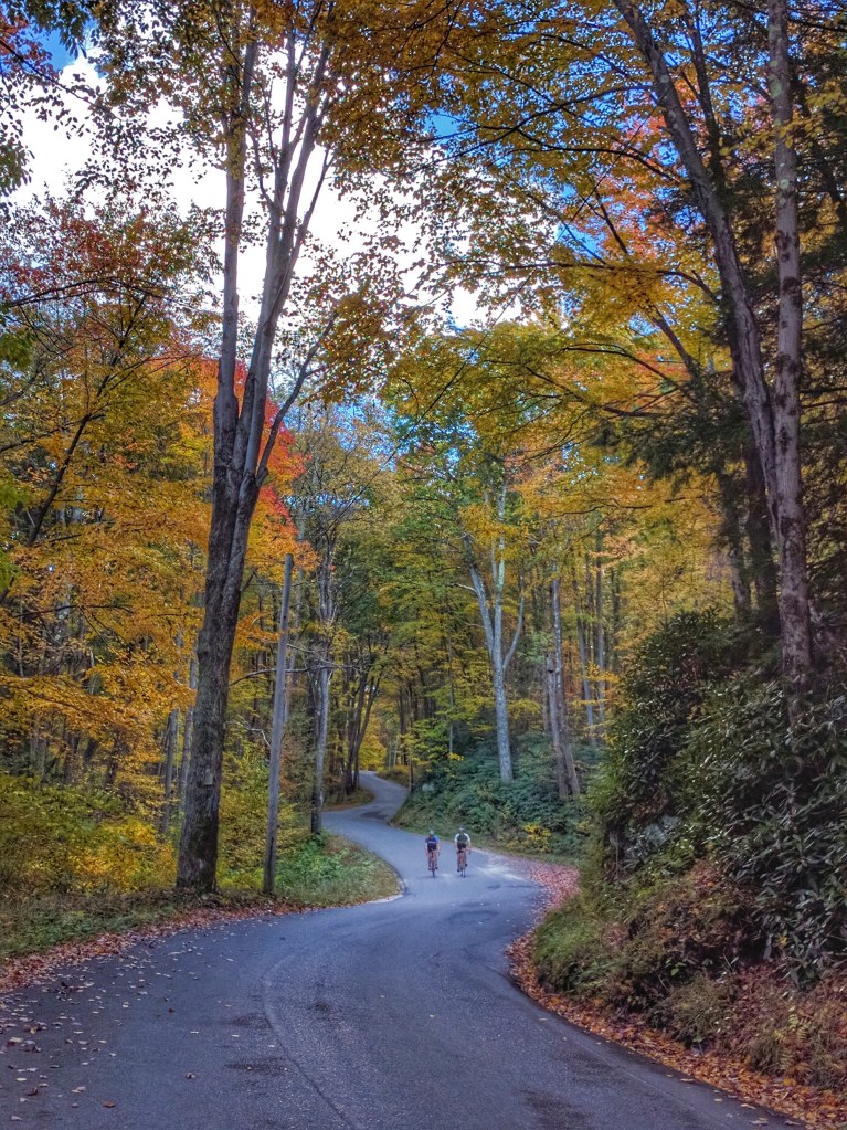
Garrett County and the Deep Creek Lake area boast some of the finest and most challenging cycling in North America, and the Garrett County Gran Fondo has established itself as a premier North American Gran Fondo unsurpassed in challenge, scenery, and riding quality.

With seven Timed KOM Climbs covering 16.2 miles and 5700′ of elevation gain, the Garrett County Gran Fondo is the King of all Climbing Gran Fondos. No other Gran Fondo has more timed climbing! Read up on the specs of the Timed KOM Climbs and Other Major Climbs at the Garrett County Gran Fondo, and bring your climbing legs!

The Garrett County Gran Fondo has a ride for everyone from the recreational cyclist to seasoned professionals with five supported ride options. With the exception of the “Garrett’s Greatest 25”, all Garrett County Gran Fondo routes are extremely challenging, very steep climbing affairs and riders should plan accordingly. Some hills peak out at over 20% pitch and have extended stretches well into the teens. It is highly recommended that you gear your bike appropriately for the severe climbing.

Continue reading…

Road Bike Riding around Confluence

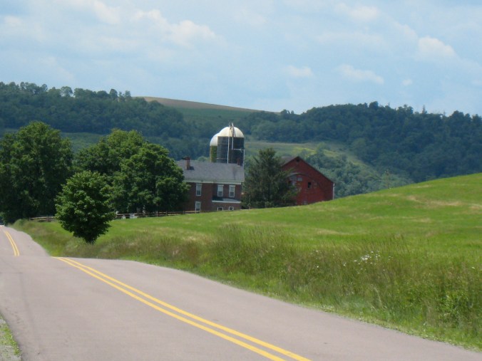
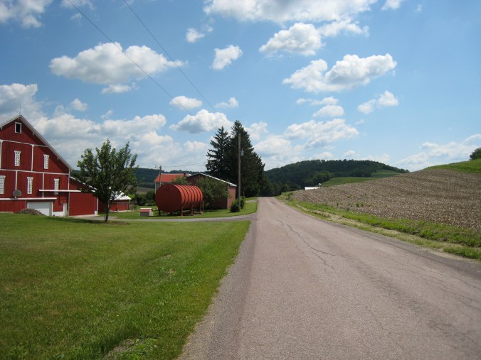
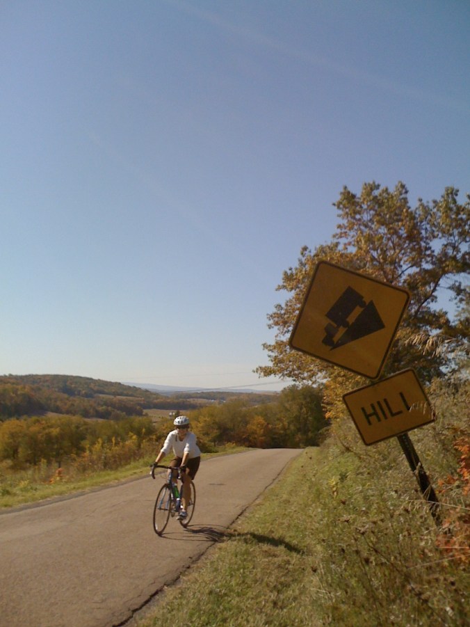
The road biking in Somerset and Fayette County is fantastic. The rides out of Confluence in all directions are great. The Casselman valley and the Mt Davis area offer many routes. If you are a cyclist, don’t come without bringing your bike.

We are happy to help you pick rides of various length and elevation and share Strava/Garmin routes. Plan to do a lot of climbing!

Around the last weekend in July there is a 40 mile road race that climbs PA’s tallest mountain, Mt Davis–twice! Here’s more info on the Mt Davis Challenge.

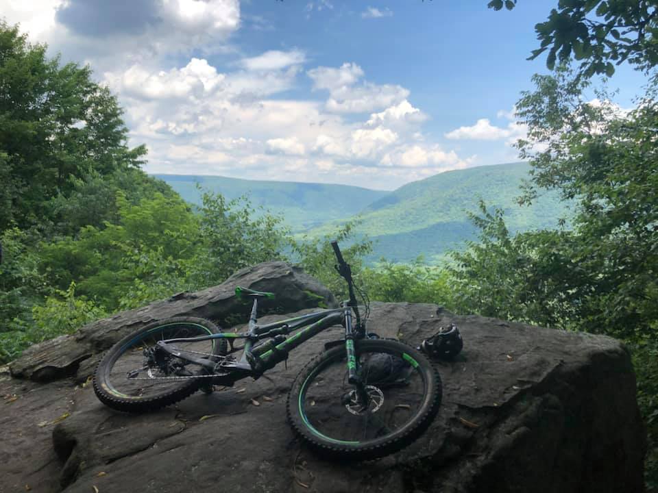
Local Mountain Biking

Ohiopyle Biking Club has really stepped it up in the last few years. A dedicated group of volunteers has been working tirelessly to build, maintain and of course, enjoy the trails on Sugarloaf. Because of this group, we have mountain biking specific single track trails all over Sugarloaf- with seemingly new trails popping up all the time!

You can head to the sledding hill area on Sugarloaf (halfway btw our home and Ohiopyle, about 10 mins away) and check out the kiosk there or for digital information here. Trailforks and Mtbproject are always good trail resources as well. 

Wilderness Voyageurs site has info on the Ohiopyle area as well. 

Ohiopyle State Park Mt. Bike Trails

Sugarloaf Mountain Bike Area is a series of loops that can be combined to create trips of varying lengths and difficulties. The trails are well-marked and wide, with only few rocky and muddy sections. Thanks to a very active local group of volunteers, new trails are being added, maintained and improved all the time. Recently they have connected the Baughman trail to the McCune trail (see map). The trails this group are adding are single track and a bit more challenging than the established State Park trails.

More information from Singletracks.com

Great Allegheny Passage (GAP) Rail Trail

Besides the two Frank Lloyd Wright homes—Fallingwater and Kentuck Knob—the most popular attraction among guests staying at our vacation rentals is the bike trail. In many cases, it rivals a visit to nearby Ohiopyle. In fact, from most of our homes, the trail is practically right outside your door.

Just as visitors travel from across the country and around the world to tour Fallingwater, they also come to ride the Great Allegheny Passage (GAP), one of the nation’s premier rail-trails.

The GAP follows a former railroad corridor that has been transformed into a scenic biking, walking, and hiking trail stretching from Pittsburgh to Cumberland, Maryland, where it connects with the C&O Canal Towpath and continues all the way to Washington, DC.

If a 300+ mile adventure isn’t on your agenda, the trail also offers excellent day-trip options right from our properties. Shaded by trees and winding alongside the river, it’s a pleasant ride even on warm summer days.

From River Road, cross the Youghiogheny River Bridge and turn left to follow the river downstream toward Ohiopyle, approximately 11 miles away. Or turn right and follow the Casselman River upstream to the town of Rockwood, about 18 miles from the bridge. Either direction offers beautiful scenery, gentle grades, and a great way to experience the natural beauty of the Laurel Highlands.

There is a well stocked bike shop in Confluence, Confluence Cyclery as well as shops in Ohiopyle and Rockwood. Looking for a bike tour, check out local company, Wilderness Voyageurs.

For more information about the trail visit here.