Geocaching

Looking for something to do outdoors but having a hard time motivating the kids? Want to venture off the beaten path but don’t know where to go? Geocaching is a fun way to explore the area. It’s perfect for kids–and grown ups alike.

What is geocaching? In short, it’s a real life treasure hunt. You need an app and a sense of adventure. Caches range from easy to difficult to get to and find, from big to tiny. Go to www.geocaching.com and check it out.

Download the app to your phone. The free app is OK, but for $5.99 a month (you can sign up for 1 month) or $29.99 for a year you can see all of the best caches. Just pick a couple of caches and follow the coordinates and clues (if you want).

Grab some small toys or trinkets from under your car seat or run to the Dollar General and grab some. (We like to leave extras in a cache that hasn’t been restocked recently). *our kids say that dollar bills, matchbox cars and pocket knifes are highly recommended.

When/if you find a cache, you can take a trinket and leave one. Don’t forget to sign the log book and cover it back up like you found it.

Don’t get frustrated if you feel like you are turning in circles when you are close. You can always check the hints. Be patient and you’ll find it.

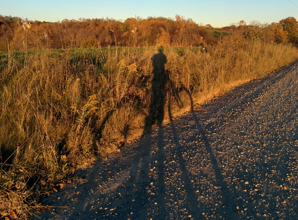
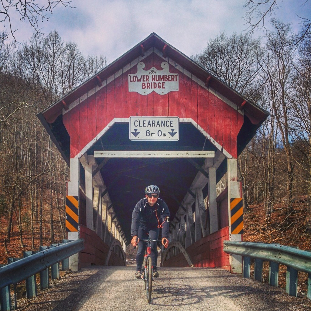
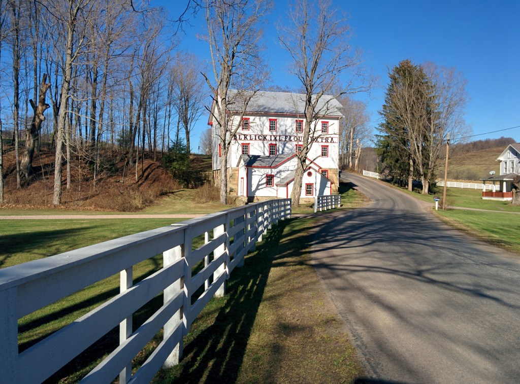
One of my favorite things about geocaching is that you’ll discover all kinds of unknown spots in the area…like bare rock overlooks and old cemeteries full of interesting history.

Here’s a helpful article about geocaching.

The Confluence zip code is 15424.
Here are some of our favorite caches:
GC1DCNZ, GCXF2K, GCNGGQ

The Eagles have landed!

Eagle pair with Treehouse in background

I don’t know a lot about the bird diversity in the area, but these photos of the eagles and Coopers Hawk were taken from our yard. OUR YARD! EAGLES!! There must be something about the flowing water and fish just below the damn that keeps these eagles around. We see them all year but consistently in the winter in the early morning. We also see great blue heron and osprey year round in our back yard. I’m sure a google search of birding in the area will give you a list of birds to look out for. Watch out fishermen, you’ve got competition!

Yough Lake

The Yough Lake is 2 minutes from our house. Turn left at the end of our road and make your next left. It’s a nice view crossing the top of the earthen dam that you won’t want to miss. The lake has a sandy beach for swimming (no lifeguards) and there is a dock for launching boats. Please obey Coast Guard rules. The fishing is great and there are folks waterskiing and jetskiing. The water is warm and clean. Picnic tables and grills are available. The marina is located on the other access point where route 40 crosses the lake. Yough Lake Marina rents boats.

More info:

In the heart of the Laurel Highlands and spanning the Mason-Dixon Line between Pennsylvania and Maryland lays Youghiogheny River Lake. The U.S. Army Corps of Engineers invites you to experience the clean waters, mountains and steep-sided valleys which encompass the project and provide an unsurpassed setting for outdoor recreation opportunities.

A popular location for recreation, Youghiogheny River Lake attracts numerous visitors each year.  Boating, hunting, camping and many other outdoor activities are enjoyed by visitors with outstanding facilities provided for the public’s convenience.

Boaters consider Youghiogheny River Lake, with all of its 16-mile length and channels up to one-half mile wide, the best power boating and water-skiing lake in southwestern Pennsylvania.

For the angler, there are numerous coves and backwater areas along the lake which provide excellent fishing. The lake is inhabited by a large variety of game and panfish and is especially known as a hotspot for walleye and smallmouth bass. A license has been granted to the Pennsylvania Fish and Boat Commission for fish management purposes in the Pennsylvania portion of the lake. The Fish and Boat Commission has also developed and maintains the Jockey Hollow Boat Launching Area. The tail waters of the dam are very popular for trout fishing. Youghiogheny River Lake’s outflow area is one of the few areas in Pennsylvania open for trout fishing year round (except for the two weeks immediately preceding Opening Day) and is stocked by the Fish and Boat Commission on a regular basis throughout the spring and summer.

For those who prefer to propel their boats with a paddle, the Youghiogheny River has plenty to offer. From the outflow area of the dam and extending for approximately 20 miles downstream is one of the most popular rafting and canoeing rivers in the eastern United States. The boulder strewn stretch of river below Ohiopyle, Pennsylvania, is renowned for its whitewater and is often the scene of national kayaking competitions.

The Middle Yough- a river trip for the family

The Tree and Riverhouse sit just below the Dam on the section of river called the Middle Yough. It’s an 11 mile float trip to Ohiopyle (from the houses) with mild class II rapids at the beginning and end and lots of flatwater in the middle. A great float trip for families or fishing.  Riversport (at the end of our road) rents canoes, rafts and provides shuttle.

If the 11 miles seems like too much for your group, consider the Mini float from the houses down to the State Park put in, about 2 miles. It’s just moving flatwater. Riversport can help you arrange this.

The Garrett County Gran Fondo Routes

Garrett County and the Deep Creek Lake area boast some of the finest and most challenging cycling in North America, and the Garrett County Gran Fondo has established itself as a premier North American Gran Fondo unsurpassed in challenge, scenery, and riding quality.

With seven Timed KOM Climbs covering 16.2 miles and 5700′ of elevation gain, the Garrett County Gran Fondo is the King of all Climbing Gran Fondos. No other Gran Fondo has more timed climbing! Read up on the specs of the Timed KOM Climbs and Other Major Climbs at the Garrett County Gran Fondo, and bring your climbing legs!

The Garrett County Gran Fondo has a ride for everyone from the recreational cyclist to seasoned professionals with five supported ride options. With the exception of the “Garrett’s Greatest 25”, all Garrett County Gran Fondo routes are extremely challenging, very steep climbing affairs and riders should plan accordingly. Some hills peak out at over 20% pitch and have extended stretches well into the teens. It is highly recommended that you gear your bike appropriately for the severe climbing.

Continue reading…

Road Bike Riding around Confluence

The road biking in Somerset and Fayette County is fantastic. The rides out of Confluence in all directions are great. The Casselman valley and the Mt Davis area offer many routes. If you are a cyclist, don’t come without bringing your bike.

We are happy to help you pick rides of various length and elevation and share Strava/Garmin routes. Plan to do a lot of climbing!

Around the last weekend in July there is a 40 mile road race that climbs PA’s tallest mountain, Mt Davis–twice! Here’s more info on the Mt Davis Challenge.